Are there occasions when you want to use a particular road but your map will not use it for routing because it's allegedly blocked? Or maybe the road has become blocked in some manner but your map still tries to route you down it. Map errors of this nature do occur and I have found an example of each to correct. One is local to me and the other I found whilst doing my day job.
Unblocking a road.
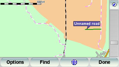
The dotted road running from the bottom centre up towards the top left hand corner is a 'normal' road, albeit a little narrow, and has no width or weight limits. Added to that, the two railway access gates along it and the much shorter route to Bramley make it ideal for me to change its attributes. Before the change was made, I plotted a route from bottom to top using 'Shortest' as the routing criterion. Seven miles and 21 minutes was the result.
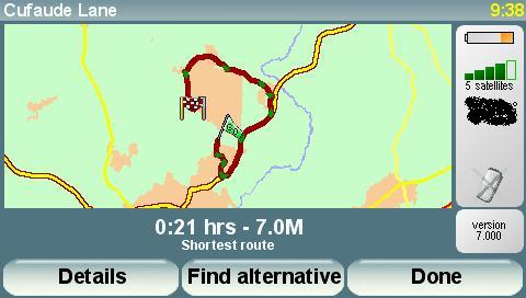
I then set about unblocking the road.
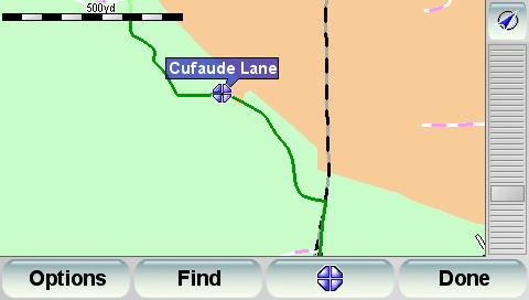
First, highlight the bit of road you are interested in and then tap the cursor button at the bottom of the screen. Select 'Correct location'.
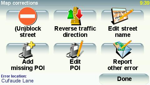
On the next screen, select (Un)block street.
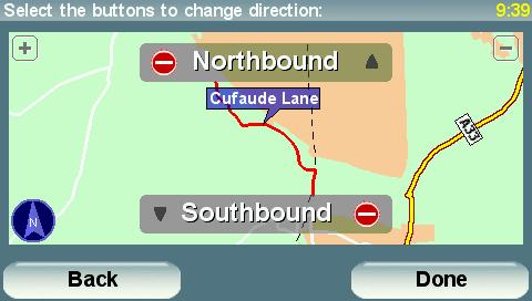
You then get to see the current attributes for the street in question. This one is blocked in both directions, so there's no chance of TomTom using it on a driven route. Tapping in the Northbound and Southbound boxes has the desired effect, though.
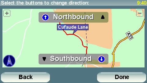
Once you tap Done, you will be asked whether or not you want to share the information and whether or not this is a permanent change. I'm a sharing kind of guy so I say 'Yes'.
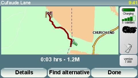
Plotting the same route as before, again using the 'Shortest' option, results in a much reduced journey, both in time and distance. 1.2 miles and only three minutes; much better.
Blocking a road.
Now, there have been no level crossings on the London to Brighton line since the year dot. They were all taken out and bridges were built instead. It seems that this news has yet to reach TeleAtlas because when I worked out of offices in Manor Royal not long ago, my TomTom kept on routing me over the railway line where there is no road!

Radford Road was built to take the traffic across the railway when the level crossing at Tinsley Green was closed all those years ago.
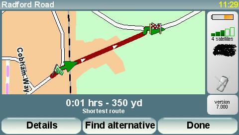
TeleAtlas weren't so quick on the uptake, though! This route was set using the 'Shortest' option.
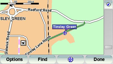
Once again, having found the error, you highlight it and press the cursor button, then select 'Correct location'.
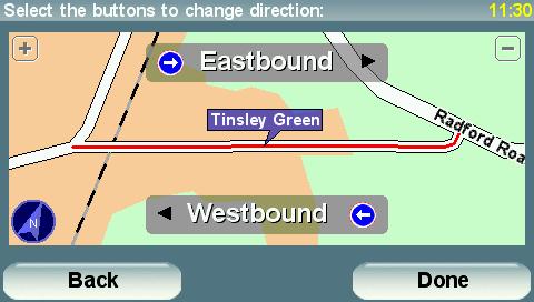
As you can see, the road is used for navigation in either direction. This is a BAD THING. But luckily for us, we can change it. A quick tap in each of the boxes shown and, hey presto!
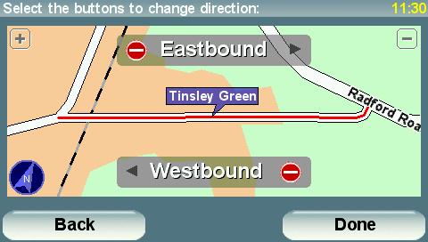
No more use of this invalid route.
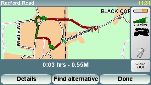
Once again, the 'Shortest' route was used. Incidentally, if anyone's wondering why the next apparent shortest route wasn't taken instead (the white 'road' up the left hand side of the railway line), I can honestly say "I don't know". I looked at its attributes and it appeared to allow two way travel but I can assure you that it's only a footpath. I changed it to 'Blocked' on my device after making that screenshot anyway, just to make sure.
|