Receiver details
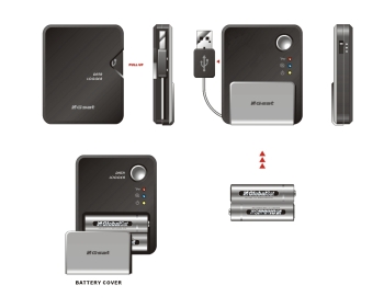 The DG-100 is powered by two AA batteries. It comes provided with 2500mAh rechargeable batteries. Fully charged those are good for 24 hours before the low battery warning comes on. The DG-100 is powered by two AA batteries. It comes provided with 2500mAh rechargeable batteries. Fully charged those are good for 24 hours before the low battery warning comes on.
Even then they hold another 8 hours before finally giving in. 32 hours of continuous logging - that sounds pretty good. I also liked the fact that the low battery warning comes relatively early, giving you enough time to react. Stock Alkaline AA batteries will last quite a bit longer. [how long?]
The battery compartment cover is not overly user friendly, and did not survive a little drop (oops) either. Initially I used a tape to hold the cover in place, but fortunately I was able to visit the Globalsat stand at CeBIT and score a replacement cover there and then.
When the unit is dropped it will likely also stop logging because it may switch off (the batteries may lose contact briefly)
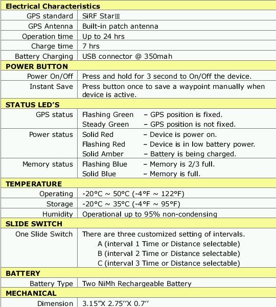
On the side of the device is the mode switch. You can select between modes A, B and C. That's very nice but you don't really know what these modes represent until you read the user guide. That user guide is on the provided CD. What this means is you cannot use the DG-100 out of the box - you need to first have access to a computer with a CD drive.
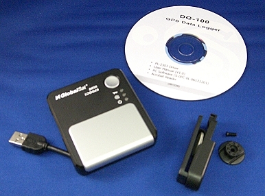
The back of the unit shows the connector for the belt clip. You can either affix the adapter with the provided double sided tape or - less permanent - with a litte provided screw. Carrying the DG-100 on the belt is possible but due to the size of the device this is not overly convenient.
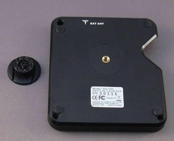
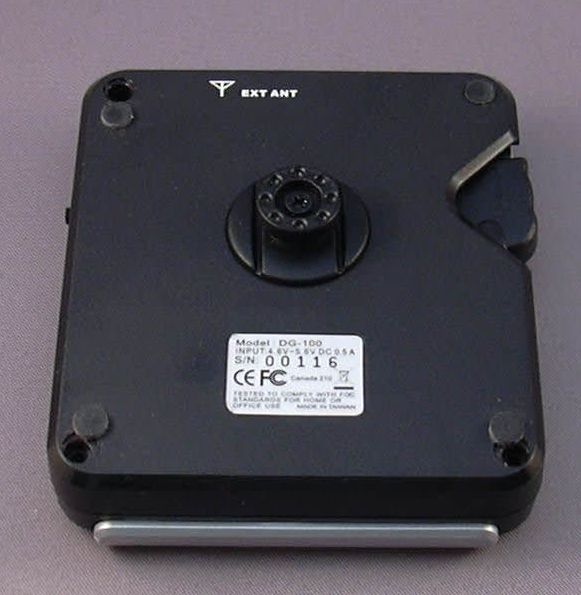
The device uses the SiRF III chipset. Should you for whatever reason want to use an external antenna you can do so by affixing one with a MMCX connector at the top of the DG-100.
The DG-100 is not watertight. If you want to use it in rough conditions make sure to provide appropriate protection in the form of a watertight Otterbox or equivalent.
Specifications
Here are the details that are listed in the user manual. They are not entirely accurate. For example the operation time is understated significantly which is actually a good thing.
Installation
The data logger program comes on the included CD but can also be downloaded from Globalsat's website.
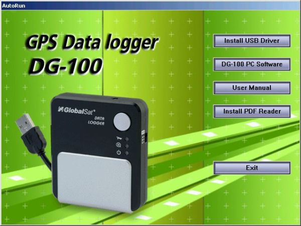
First you need to install the driver for the USB-to-serial bridge.
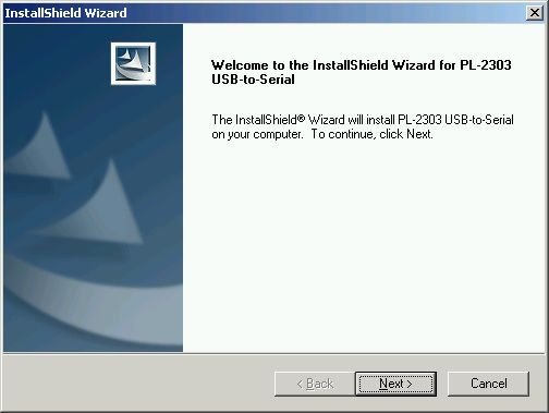
The DG-100 does not use the pretty common Prolific CP210x USB-to-Serial converter. Instead, you need to install the CP230x driver, again either from the web or from the provided CD.

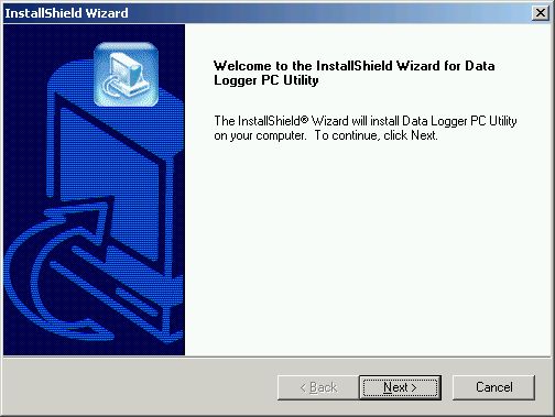
Now you can install the main program.
 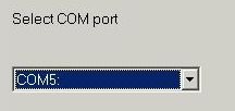
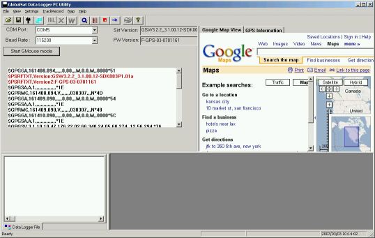
Here you select the COM port that was assigned to the device at the time of installing the CP2303 driver.
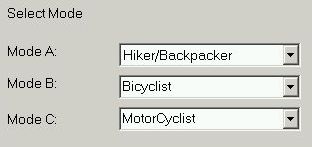 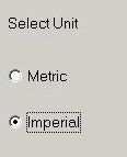
You can rename the modes and change their parameters later.
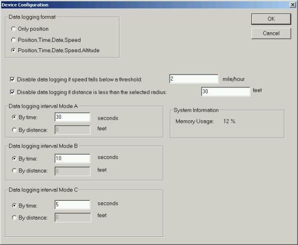
The A,B and C modes can be used to log either by distance or by time. The screen also tells you how much memory is used. Note that there is no option to specify if you want to overwrite old data. When the memory is full, logging will stop. The Memory Status LED will start blinking when the memory gets filled 66%, and will be solid when the memory is full.
I was logging a transatlantic flight, but I selected mode A. I will change the mode to log by distance and specify a smaller distance, otherwise I will never fill up that memory...

This is one of the weak points of the device - whenever you change settings you need to restart the DG-100. I hope Globalsat can fix that weakness in future versions.
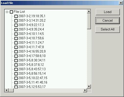
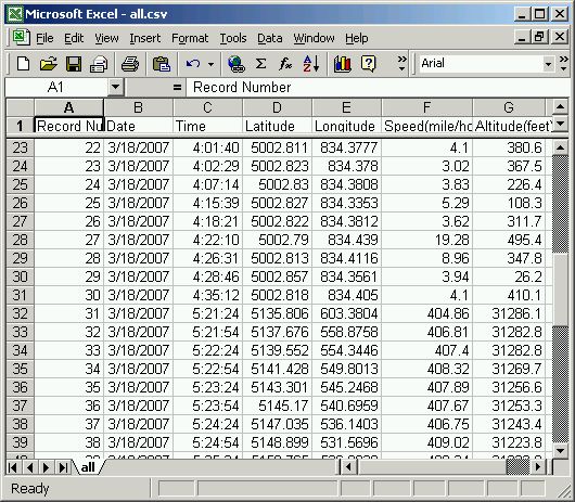
The collected data can then be downloaded from the DG-100 and exported in a number of formats (KML, CSV, Text). Google Earth KML is preferred, however that does not contain the altitude data.
One thing I did not understand is how tracks are separated. One theory is that if the logger loses and regains a fix then a new track is started. I don't think I like that approach - I would want to be able to start a new track by power cycling the device (like it is done on the Wintec WBT-100). But for now you can end up with multiple tracks per journey, and true to Murphy only one track at a time can be exported to Google Earth.
The mode slider is very easy to operate, also inadvertently. Switching between A,B and C will not actually change the logging mode - for the logging to resume with the new parameters you have to power cycle the data logger! This is a sure recipe for confusion and lost data. Mode switching should be seamless, and I hope Globalsat can implement that in a future version.
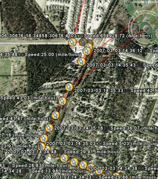 . .
Above is an example where I decided to change the logging mode at the top intersection. Instead of logging in the new mode the device simply stopped recording. It also had a rough day, and showed quite a few bogus data points in countries far, far away (Look at that speed!!!). Another - cosmetic - issue can be seen in the pin labels of Google Earth. Globalsat tried to use carriage returns but those are not supported by Google Earth, and come out as squares.
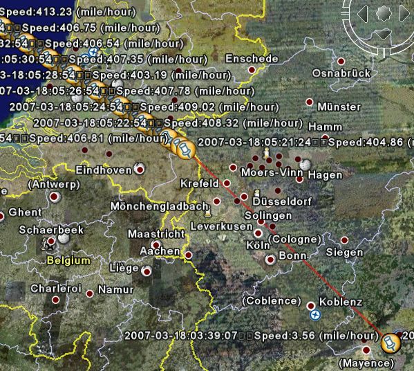
As you can see, altitude information is not included in the KML export - use the CSV export if you need that.
To add insult to injury the device switches off when USB power is applied. This makes it completely impossible to use the DG-100 in a fixed car installation scenario. |