|
|
 |
 |
 |
 |
Have iPhone will travel… iPhone Navigation Apps compared.
Article by: Mike Barrett
Date: 2 Dec 2009
 Whilst visiting the popular holiday destination of Orlando Florida I took the opportunity to check out the iPhone's navigation capabilities last month. I set out with a view to evaluating a number of the Turn by Turn Navigation applications available for the iPhone to see if they were fit for purpose when travelling abroad on holiday. What I really needed to know was is it possible to travel abroad with just a passport, credit card and an iPhone? In 4 weeks I drove over 2500 miles using iPhone applications as my sole navigation tool. Whilst visiting the popular holiday destination of Orlando Florida I took the opportunity to check out the iPhone's navigation capabilities last month. I set out with a view to evaluating a number of the Turn by Turn Navigation applications available for the iPhone to see if they were fit for purpose when travelling abroad on holiday. What I really needed to know was is it possible to travel abroad with just a passport, credit card and an iPhone? In 4 weeks I drove over 2500 miles using iPhone applications as my sole navigation tool.
Is the iPhone a credible device to use a navigation system on holiday, or could it be even better and rival the capabilities of a full blown PND? These were the main things I wanted to discover and I am pleased to reveal that my TomTom 940 didn't come out of my suitcase let alone make it into the car during this trip.
Read on to find out how the apps compare and to view the video of them in action:
Objectives
The primary objective of this exercise was to use the iPhone to get from A-B in a foreign country using just the onboard capabilities of the device. A critical factor was that I didn't use any data connection to avoid incurring roaming data charges. This ruled out a number of off board applications, but there are still plenty of self contained Apps to choose from.
The idea of this comparison is to check the various applications in action: how easy was it to find places, were the routes OK, were the ETAs accurate, how well did they integrate with the iPod, and of course how good were they visually and audibly. I decided the best way to show this was to produce a video showing the screen displays and voice instructions as I travelled on my journey. Not surprisingly there was a big range of both features and functionality across the range of navigation applications which gave me a lot of things to try out.
Click here for our video demonstrating the various applications in action in Florida.
Equipment Used
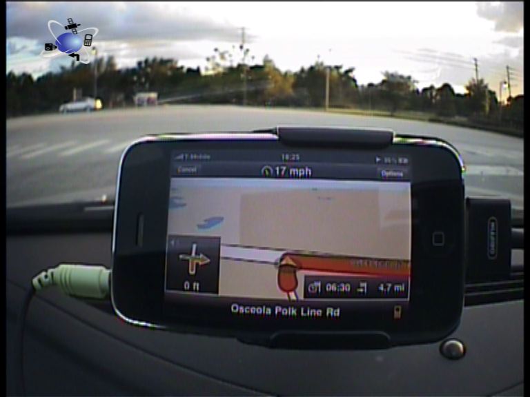
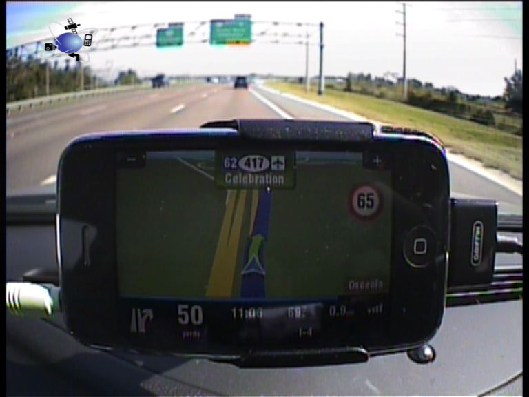
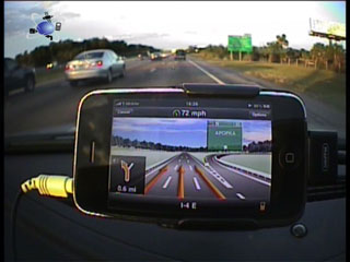
The setup used a 32Gb iPhone 3GS powered by a Griffin Powerjolt SE with a cable connecting the headphone jack to the Aux input of the car stereo. This allowed me to direct my music from the iPod to the superior speakers of the car and also get my voice instructions as well. The iPhone was mounted in a HR windscreen suction mount holder. This is a 'passive' (not powered) holder.
Applications Compared
I used the latest versions of the applications from the AppStore available as of October 15th 2009. Some of these have been updated since then, so check our website for current details. The Apps I looked at were:
- CoPilot 8.0.0.417
- G-Map 1.3.1
- Navigon US 1.2
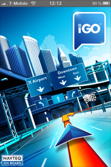
- NavNGo iGo 8.4.2.96110
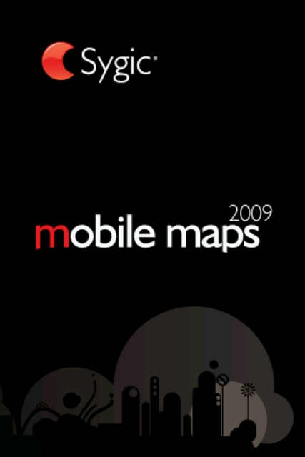
- Sygic Mobile Maps 7.71
- TomTom 1.0 (8.150)
Reliability
The main question I needed to answer was: "Is the iPhone a competent device for navigation". I was pleasantly surprised that the answer to that question is a resounding yes… I will qualify that by stating that the roads I used were open and there were no urban canyons (skyscrapers) that can affect the GPS performance. But the iPhone itself proved to be an adequate performer with all of the applications. On one trip I found that the GPS did drop in and out over a stretch of about 2 miles, this may have been due to local interference. It was very stable and accurate the rest of the time.
One of the things I was looking out for was GPS lag, where your position is reported after you reach a junction or turn. I didn't experience this at all. CoPilot did occasionally show some strange locations when the app was started which didn't get updated until you started moving on a road.
I was also expecting that some of the applications might crash after running for some time, or that the battery might drain, or some other disaster may befall. However, apart from the one time that I left my iPhone overnight without charging, there were no power issues and that one was solved by switching the iPhone off when I was on a stretch of road for 50 miles, when the iPhone managed to get over 50% charge and let me continue for the rest of the day. I did have a couple of application crashes from iGO and G-Map, with one of the iGo crashes requiring me to turn the iPhone off and back on again.
In general I was very pleased with the reliability of the device and applications. The iPhone got hot, but didn't overheat despite the temperature being in the low 30s. The battery did not drain significantly whilst being powered, playing the iPod, and navigating.
Top Apps in this section were TomTom and Navigon.
Map Quality and Coverage
There are two Map providers for the applications: Tele Atlas and Navteq. All applications had the major roads represented pretty accurately, though some of the speed limits were not correct. However there were some significant differences when it came to the more minor roads.
For instance TomTom didn't have the road that I started my tests on their map, but it is on the older TomTom PND maps, implying that they have deliberately cut data to balance App size. The same was true for Sygic, so maybe it is possibly a 'mobile' cut of the maps or both companies chose to drop similar information. Both Navigon and CoPilot use Navteq mapping, but they don't provide the same map versions. The Navigon application came with more up to date maps, whereas CoPilot didn't have the road where I was staying in the app… Not a great start!
To a certain extent this is not too important unless your start point or destination just happens to be on one of these missing roads. That said the Orlando area of Florida is one of those areas where that is highly likely as, despite the recession, there is still a large amount of construction taking place mainly for rental housing and holiday homes. Just the sort of place a holiday maker might want to find.
Top App here was Navigon with TomTom close second.
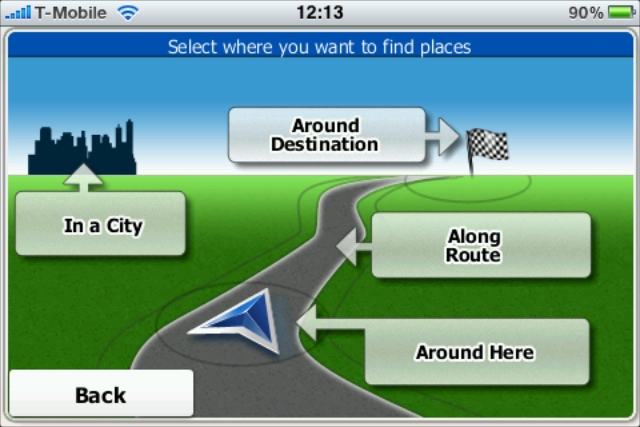
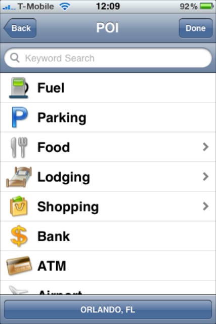
Finding Places
One of the most important things about navigating in unfamiliar places is the ability to locate your destination. This is where the built in POIs come to the fore. I must confess that none of the applications were ideal here. Part of the problem was my random searching, part was me not knowing the exact city I wanted to go to, part was the sheer number of results returned, and part was the mapping data.
You might assume that given all the applications used either Navteq or Tele Atlas maps that the POIs may actually be the same, at least across map providers. Well that doesn't seem to be the case, and where it is the databases are accessed slightly differently. From my point of view I wanted to find touristy locations: eating places, shops, Malls, attractions etc. I also wanted to locate some specific addresses.
Starting with specific addresses this worked quite well as long as you knew which city or zip code you wanted to go to. Just about everywhere has a Main St and Orange Blossom Trail extends for tens if not hundreds of miles through a number of cities. Interestingly I had no problems at all except when trying to find some Apple Stores in Shopping Malls based on the address on the Apple Webpage that I had previously printed (not allowed to use internet in the car: roaming charges). I entered the addresses and they didn't correspond to anything in the map data. I then tried again trying the nearest option that was found and managed to go to the wrong place, still a shopping mall on the same road, but no Apple Store…
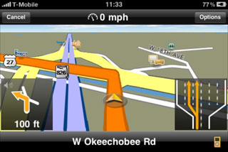
The postal address of the place that I was staying at was Davenport, Florida, 33837. The applications treated this address slightly differently. Sygic thought it was in Polk (the county) CoPilot didn't have the road but thought the main road was in Kissimmee, the rest managed to find the street correctly though none apart from TomTom were able to take me to a house number.
Looking for places is a much more different proposition. For my road test I selected an arbitrary location from Google Earth near the junction I wanted to come off at. This just happened to be Celebration High School. All the Navteq based apps managed to find this, but it was incorrectly marked in the database and left me half a mile travelling in the wrong direction from the actual school. The Tele Atlas based apps: (TomTom and Sygic) didn't have the POI in at all. In their defence this is a reasonably new school in the middle of nowhere so accuracy and availability could be forgiven.
Looking at other tourist options we wanted to go to Mount Dora. All applications except for G-Map found lots to do there, G-Map didn't know about the city of Mount Dora… The most frustrating thing to do was navigating the various categories and trying to decide in which category a particular place might be, or hunting through hundreds of results.
But these are exceptions normally I get directed to the exact place that I was trying to reach. The classic 'error' of searching for Disney in Orlando did manage to find Disney World as you might hope. Disney World is actually in Lake Buena Vista, Florida and not Orlando, though some systems thought it was in Kissimmee.
Top App here was Sygic, it simply had more POIs in it than any of the other apps.
 
Routing
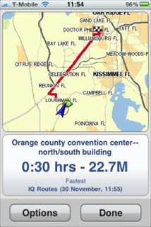
Routing is a difficult thing to judge without knowing the area and the optimal routes to get around. I found that TomTom with it's IQ routes wanted to try and stick to motorways as much as possible even to the extent of routing me nearly 40 miles out of the way on my trip to the Florida Keys. CoPilot, iGO, Navigon, and Sygic, all generated very similar routes, and G-Map often came up with some really strange routing.
Driving in the USA is very different to driving in Europe, unless you get caught in the tailback of an incident or you are travelling past a major city during rush hour, trip times are pretty deterministic. I know that Disney is 20 minutes away, and the Millennia Shopping Mall is 35 minutes and the navigation applications come up with the same results as well. My trip to the Florida keys was out by less than 15 minutes for a five hour trip plus stops of course.
Top App for routing very little to choose from CoPilot, iGO, Navigon, and Sygic.
iPod Usage
I was going to subtitle this iPod Integration, but there would only have been the Navigon App to talk about. With the iPhone the iPod application can run in the background allowing you to listen to music whilst doing other things, in this particular case it plays music while we are on the move. Now despite the fact that Navigon was the only application that included iPod controls (at the time of testing, more apps do now) the iPod can be started before the navigation app and will still work in the background.
There were 3 different approaches to issuing navigation instructions when listening to background music: Lower music volume and play instruction, pause music and play instruction or just play instruction over the music. Navigon lowers the volume, TomTom and Sygic pause the music, with the rest just playing the instruction. You will see from the video that only the first two methods are viable and Navigon's is the best by far.
None of the applications implemented my utopia which would be not just to lower the volume of the iPod and play the instruction, but also to have separate volume controls for iPod and Navigation. For me it is sometimes preferable to have very low volume for music, but reasonably loud turn instructions.
As far as controlling the iPod was concerned Navigon offers a full iPod interface which is accessed inside the app. This allows selection of music, pausing, skipping etc. The only way to do this with the other apps was to close the navigation and access the iPod, then restart the navigation. Having said that the iPod playlist selections are all in portrait mode, a little difficult to read when navigating in landscape mode.
Top iPod App was Navigon.
 
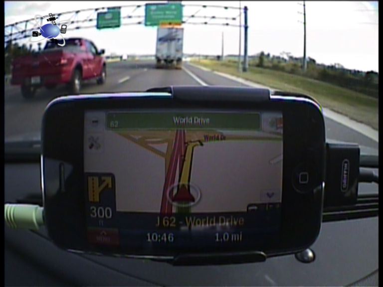
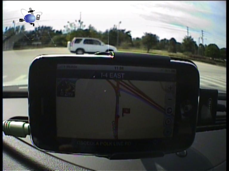
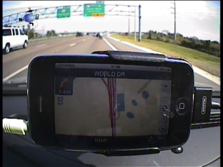
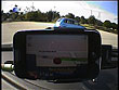
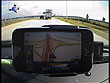
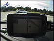
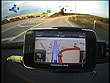
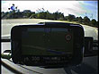
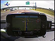
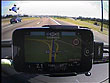
Navigation Apps in use
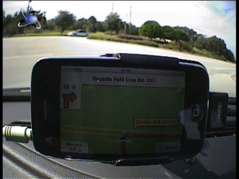
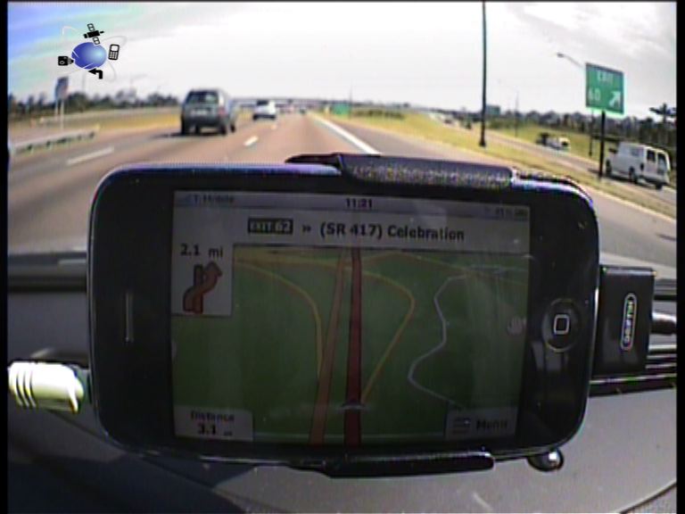
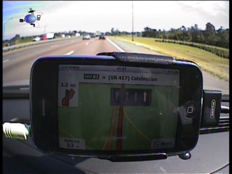
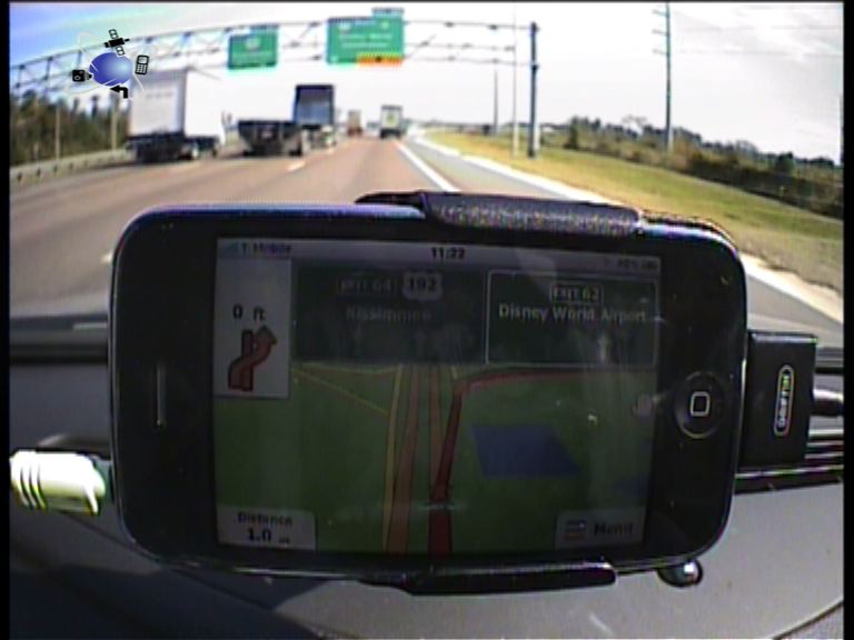
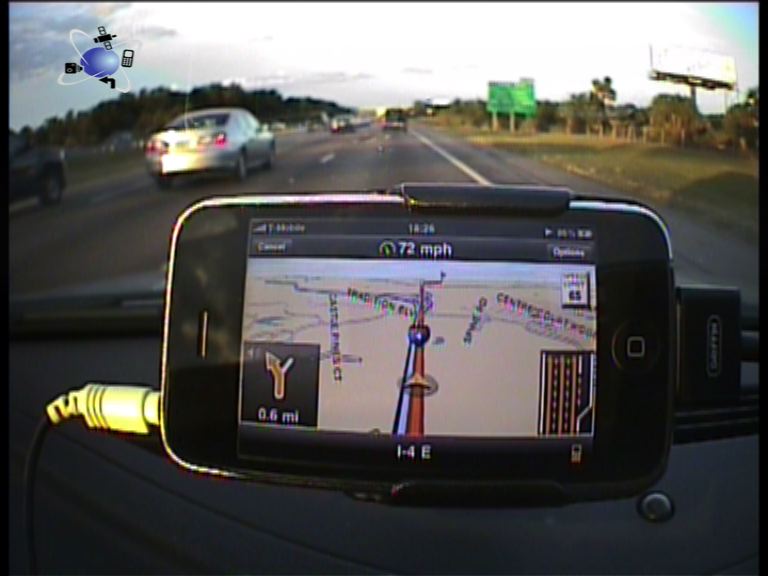
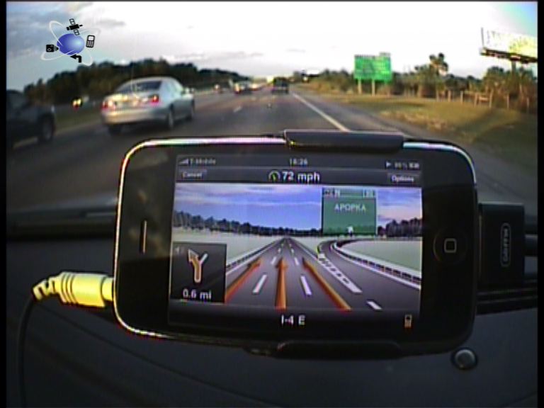
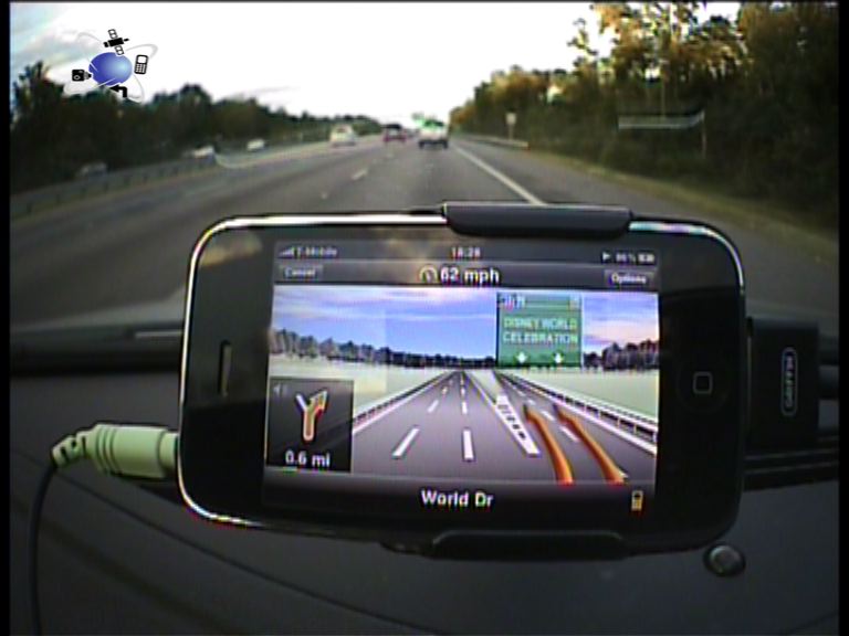
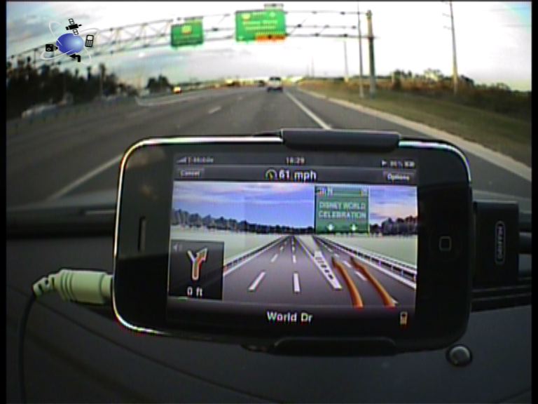
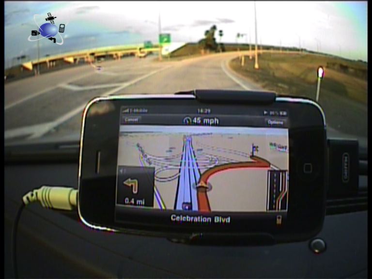
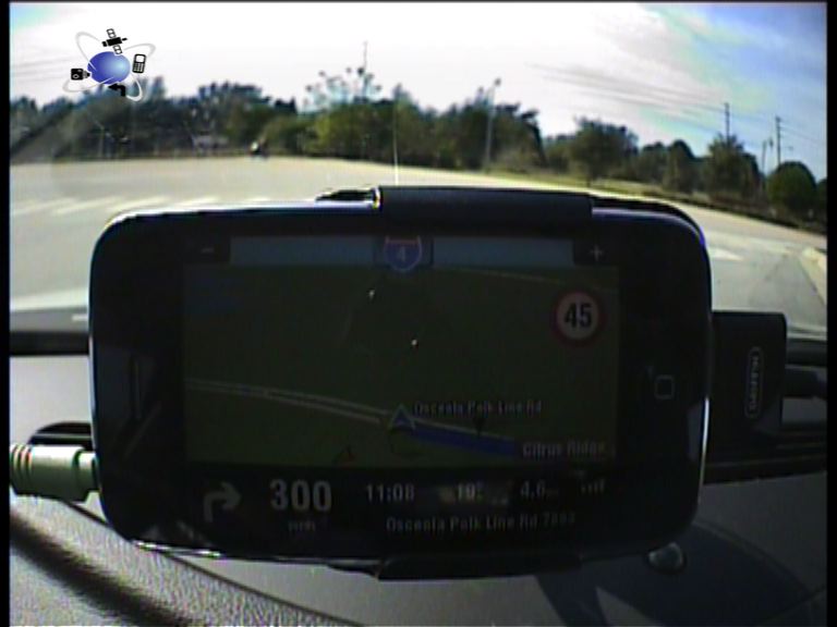
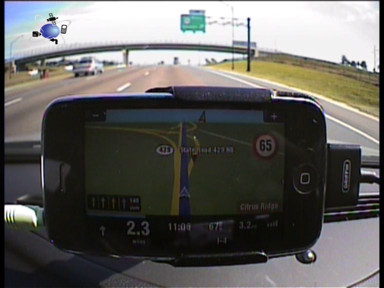
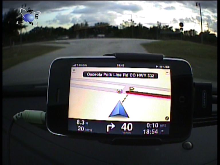
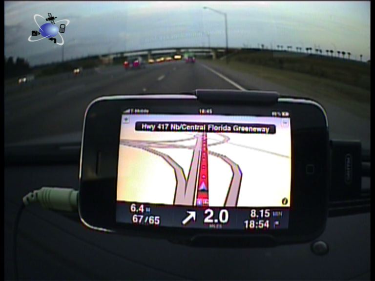
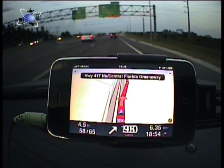
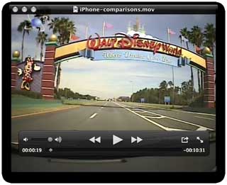
Rather than a series of pictures and words to try and explain what the applications look and sound like I have made acomparison video. The methods used for the comparison was to drive the same route with each application running showing the instructions and displays during the trip. The microphone pickup was mounted on the rear view mirror allowing the audio to represent the true user in-car experience.
As you can see on the video I chose a route that took me down a motorway and off at a complex junction. The aim was to see how well the various applications indicated the correct lane to be in, how they conveyed the turn instructions, and how accurate they were. In the video I break the route down into sections and show each application through that section. Some applications don't have all sections as there was nothing to show. If you get bored with the dulcet tones of my introduction skip ahead to about 1 minute 10 seconds where the App demos start.
Click here to view the iPhone navigation application comparison video.
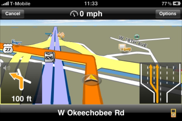
Most of the applications have lane assist and basic signposting, but once again the application that came out on top was Navigon, it had full text to speech, lane assistance, signposting, and reality views.
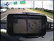
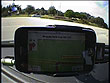
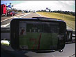
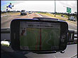
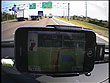
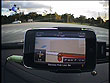
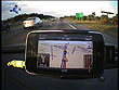
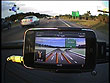
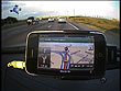
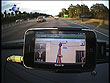
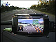
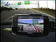
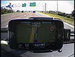
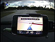
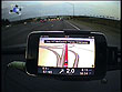
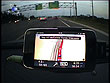
Image Gallery of the iPhone navigation apps in action
Click on the image for full size pop-up:
Conclusions
I was extremely pleased and somewhat surprised that the iPhone (without boosted or assisted GPS) not only worked, but worked really well for navigating away from home. Of course not a cent was spent on roaming data charges. A crucial bit of kit was the Griffin PowerJolt SE which kept the battery of the iPhone topped up and my HR mount to keep it on the windshield.
So it is just one device for me in the future!!! When I go back to the USA again I can quite confidently leave my top-of-the-range PND at home and use the just the iPhone. Of course the fun does not stop at Navigation, my iPhone can still do so much more: Internet, email, Marine Navigation… But that is another story and indeed another upcoming article.
Apart from a couple of user errors and my woeful experience in Miami trying to find an Apple Store the device and applications behaved very well. I was a bit disappointed with the map coverage, particularly from CoPilot as the other Navteq apps had the missing roads in them. I also thought the Tele Atlas apps could have had more road detail in them.
The one area where all apps need to improve on is with custom POIs. Currently there is no capability on any of them to include external custom POIs. This is a pity as I have built up a good collection of personal POIs for my visits to the USA and would like to be able to use them. TomTom claim that Apple prevent adding data like this, but that is not true. Fugawi have developed the X-Traverse system that allows sharing of data between devices and the web. It would be good if the Navigation companies could integrate this as a standard.
Rankings
So this just leaves me with the difficult task of ranking the applications. Navigon was a clear winner, streets (groan) ahead of the others. This lead may well soon be cut down as the other manufacturers issue new releases. The rest of the applications were all pretty close with the exception of G-Road which needs a lot of work to bring it up to the standard of the others.
My final rankings are:
1. Navigon $70
2. CoPilot $35
3. Sygic $40
4. TomTom $99
5. iGo $80
6. X-Road $25
With a number of new releases just out or coming in the next few weeks I think the iPhone Navigation market is going to be very exciting. Keep an eye on the front page for announcements about the new releases.
| Comments
|
 Posted by mountdora on Wed Dec 02, 2009 8:17 pm Posted by mountdora on Wed Dec 02, 2009 8:17 pm |
 |
Wow! G-Map doesn't know about the City of Mount Dora? We can't have that! We are a well known city that everyone loves to come visit. Do you know how I would go about getting Mount Dora known by G-Map?
|
|
| Posted by MikeB on Wed Dec 02, 2009 8:31 pm |
|
| mountdora Wrote: | | Wow! G-Map doesn't know about the City of Mount Dora? We can't have that! We are a well known city that everyone loves to come visit. Do you know how I would go about getting Mount Dora known by G-Map? |
Well I did tell Xroad about it and they were going to look into it. I imagine that your beautiful city will be on the map again soon.
Mike Barrett |
|
| Posted by eonisbkuk on Wed Dec 02, 2009 9:08 pm |
|
what about the uk and europe
|
|
| Posted by MikeB on Wed Dec 02, 2009 9:21 pm |
|
| eonisbkuk Wrote: | | what about the uk and europe |
This article was specifically about being able to travel abroad using your iPhone for navigation rather than buying maps and taking your PND with you.
The apps are very similar for the UK and Europe as well. I have used Sygic in Germany with no problems. The main issue with all of these applications is the lack of support for 3rd party add-ons with non-jailbroken iPhones.
We will probably do similar reviews for individual apps at a later point in time. At the moment the apps are changing so quickly it is difficult to produce a full review before the next version of the application is released.
Mike Barrett |
|
| Posted by mostdom on Thu Dec 03, 2009 8:08 am |
|
Nice review, a good read!
Dom
HERE LIES PND May it rest in peace.
Navigon 7310/iPhone Navigon&Copilot |
|
| Posted by flyingfuzz on Thu Dec 03, 2009 7:38 pm |
|
what happens when a call comes in?
TT520 running App 8.351 & map UK&I v845.26345
Using Traffic TMC (round pin) & PGPS speed cameras. |
|
| Posted by MikeB on Thu Dec 03, 2009 10:27 pm |
|
| flyingfuzz Wrote: | | what happens when a call comes in? |
I am not that popular that a lot of people call me when I am on holiday... But I did get a couple of calls while I was driving.
When the call comes in the Navigation app is killed. The only apps that this happened to were TomTom and Navigon. In both cases when I had finished on the phone the navigation application restarted and carried on with the route I had selected.
Mike Barrett |
|
| Posted by bigfatjohn on Thu Dec 03, 2009 11:18 pm |
|
An interesting read.
Back in September I made the same decision to leave my PND at home, and relied on TomTom on my iPhone for a trip to the US. Washington up to Pittsburg, down to Nashville, then back to Washington. All without setting a wheel on an Interstate.
After two and a half thousand miles in two weeks I only lost position a couple of times.
As a bonus, as I was using a powered mount, on a suction mount, my phone was kept fully charged at all times.
I agree with the conclusion, and will not be taking my PND to the US again. There's no need to hump the extra kit about.
|
|
| Posted by andersonGPS on Fri Dec 04, 2009 5:36 am |
|
Best review I've seen (and I've looked all over). And thanks for confirming my decision for Navigon.
A few random thoughts ...
After upgrading to a 3GS today, I can confirm a much better overall experience. On the 3G, I definitely learned to be patient with loading and working with the app; but the 3GS processor / memory handles the app very well.
And while I don't have TomTom app, I will be very interested to see how TomTom handles the traffic feature ... I suspect that they will use their "Live Services - traffic, fuel prices, etc" and require a monthly or annual cost - their current approach.
An interesting consideration with Navigon is that since they've shut down their US device operation, all focus is on iPhone app. That's good for the iPhone customer since they will be less distracted by supporting a lot of other device platforms like TomTom and Magellan. Navigon is pumping out updates almost monthly ... might not be able to sustain it but better than the others for now.
Thanks for the review. Very good.
|
|
| Posted by MrGumby on Fri Dec 04, 2009 9:20 am |
|
I've never taken a PND abroad, have always used a phone, mainly XDA Orbit, Orbit 2 and Guide, usually mounted on a Bracketron Nav-Mat. Software-wise, I've tried CoPilot but get on better with the far from perfect TomTom Nav. I'd hate not to be able to add custom POIs.
Re TT taking Mike 40 miles out of his way, am I the only one who thinks apps are desperately in need of "shortest within reason" and "quickest within reason" options? When I choose "quickest", for example, I don't want to drive an extra 10 miles to save a minute or two.
|
|
| Posted by willis on Fri Dec 04, 2009 11:30 am |
|
| Quote: | | The one area where all apps need to improve on is with custom POIs. Currently there is no capability on any of them to include external custom POIs. |
So can't add the speed cameras from Pocket GPS then? If that's the case I was considering getting a tom tom mount and app from my ipod touch rather than a new device but if I can't have the speed cameras then it will have to be a seperate device.
|
|
|
| Click here to view more comments... |
|
 |
|
|
 |
 |
 |
 |
|
|